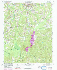
1974 Map of Creedmoor
USGS Topo · Published 1992About this map
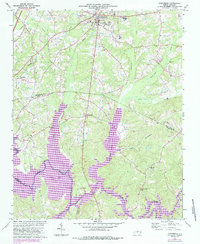
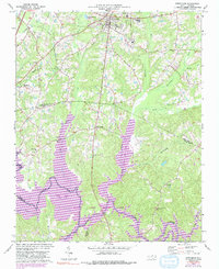
Creedmoor serves as the primary hub in this corner of Granville County during the mid-1970s, situated at the intersection of a developing road network and the Seaboard Coast Line railroad. This survey, updated with 1980s data shown in purple, illustrates a landscape transitioning from rural agricultural tracts to include more centralized infrastructure, such as the Sewage Disposal Pond and large Warehouse facilities. Along the southern border, the Neuse River meanders through the boundary between Wake and Durham counties, joined by numerous tributaries like Little Lick Cr and Ledge Creek. Local community life is anchored by established institutions like New Light Ch and Union Ch, while education is centered at South Granville Sch and Hawley Sch. The topography is defined by the significant rise of the Ledge and the expansion of water features like Beaverdam Lake.
Find a feature on this map
30 named features on this map. Tap any name to fly to it.
Don’t see what you’re looking for? This feature index may not catch every label — zoom into the map to look around manually.
Map Details
Editions of this 1974 Creedmoor Map
6 editions found
Other maps of this area

1943 · Durham South
USGS Topo · 1:62,500

1943 · Raleigh
USGS Topo · 1:62,500

1943 · Creedmoor
USGS Topo · 1:62,500

1944 · Creedmoor
USGS Topo · 1:62,500

1951 · Raleigh
USGS Topo · 1:62,500

1951 · Durham South
USGS Topo · 1:62,500

1951 · Durham North
USGS Topo · 1:62,500

1953 · Raleigh
USGS Topo · 1:250,000

1953 · Greensboro
USGS Topo · 1:250,000

1954 · Greensboro
USGS Topo · 1:250,000