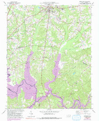
1974 Map of Creedmoor
USGS Topo · Published 1992About this map
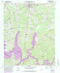
Creedmoor serves as the focal point of this Piedmont landscape, appearing here at a time of significant transition. The map captures the creation of Falls Lake and the establishment of Falls Lake State Park, with purple revisions indicating the expanding waterlines of the reservoir system along the Neuse River. These hydraulic changes reshaped the traditional drainage patterns of Ledge Creek and Beaverdam Creek, altering the rural character of the borderlands between Granville and Wake Counties.
Find a feature on this map
28 named features on this map. Tap any name to fly to it.
Don’t see what you’re looking for? This feature index may not catch every label — zoom into the map to look around manually.
Map Details
Editions of this 1974 Creedmoor Map
6 editions found
Other maps of this area

1943 · Durham South
USGS Topo · 1:62,500

1943 · Raleigh
USGS Topo · 1:62,500

1943 · Creedmoor
USGS Topo · 1:62,500

1944 · Creedmoor
USGS Topo · 1:62,500

1951 · Raleigh
USGS Topo · 1:62,500

1951 · Durham South
USGS Topo · 1:62,500

1951 · Durham North
USGS Topo · 1:62,500

1953 · Raleigh
USGS Topo · 1:250,000

1953 · Greensboro
USGS Topo · 1:250,000

1954 · Greensboro
USGS Topo · 1:250,000