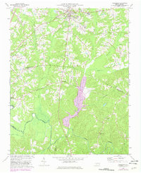
1974 Map of Creedmoor
USGS Topo · Published 1982About this map
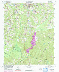
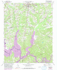
Creedmoor serves as the focal point of this Granville County landscape, where the Seaboard Coast Line railroad and a network of county roads converge at the edge of the Piedmont. The map documents a significant era of hydrological and infrastructure change, centered on the expansion of Beaverdam Lake and the Rogers Creek drainage system. These water features are nestled between the rural communities of Northside and Sandy Plain, with the Neuse River winding through the southern portion of the quadrangle. Local genealogy is well-preserved through numerous rural landmarks, including Olive Grove Ch, Union Chapel Ch, and New Light Ch, alongside various unnamed family cemeteries. Educational hubs such as South Granville Sch and Hawley Sch appear near the town center, while topographical markers like Ledge Rock characterize the varied terrain along Ledge Creek.
Find a feature on this map
38 named features on this map. Tap any name to fly to it.
Don’t see what you’re looking for? This feature index may not catch every label — zoom into the map to look around manually.
Map Details
Editions of this 1974 Creedmoor Map
6 editions found
Other maps of this area

1943 · Durham South
USGS Topo · 1:62,500

1943 · Raleigh
USGS Topo · 1:62,500

1943 · Creedmoor
USGS Topo · 1:62,500

1944 · Creedmoor
USGS Topo · 1:62,500

1951 · Raleigh
USGS Topo · 1:62,500

1951 · Durham South
USGS Topo · 1:62,500

1951 · Durham North
USGS Topo · 1:62,500

1953 · Raleigh
USGS Topo · 1:250,000

1953 · Greensboro
USGS Topo · 1:250,000

1954 · Greensboro
USGS Topo · 1:250,000