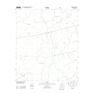
2013 Map of Berea
USGS Topo · Published 2013About this map
Berea and Arbor anchor this portion of Houston County, where a complex network of creeks and bayous defines the East Texas landscape. The drainage system of White Rock Cr and Hurricane Bayou creates a fragmented terrain of small watersheds, supporting local ranching operations like the Hickory Creek Rnch and Pine Shadows Rnch. The presence of Concord Cem and English Cem near established farm-to-market roads suggests long-standing rural communities that have persisted through the modern era.
Find a feature on this map
41 named features on this map. Tap any name to fly to it.
Don’t see what you’re looking for? This feature index may not catch every label — zoom into the map to look around manually.
Map Details
Editions of this 2013 Berea Map
This is the sole edition of this map. No revisions or reprints were ever made.
Other maps of this area
1950 · Crockett
USGS Topo · 1:24,000
1950 · Crockett NE
USGS Topo · 1:24,000
1950 · Ratcliff
USGS Topo · 1:24,000
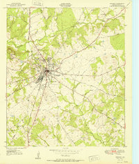
1951 · Crockett
USGS Topo · 1:24,000
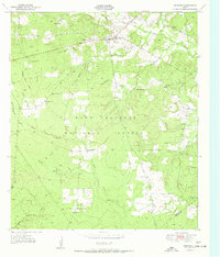
1951 · Kennard
USGS Topo · 1:24,000
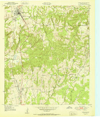
1951 · Grapeland
USGS Topo · 1:24,000
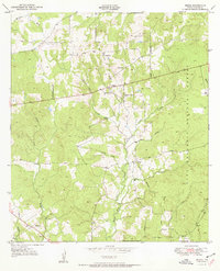
1951 · Berea
USGS Topo · 1:24,000
1951 · Crockett NE
USGS Topo · 1:24,000
1951 · Ratcliff
USGS Topo · 1:24,000

1953 · Palestine
USGS Topo · 1:250,000