
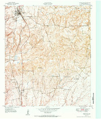
1951 Map of Grapeland
USGS Topo · Published 1951About this map
The Missouri Pacific railroad corridor anchors the western half of this East Texas survey, connecting the bustling center of Grapeland with the smaller community of Latexo to the south. This mid-century landscape is defined by its small family cemeteries and rural congregations, reflecting a deeply rooted agricultural society. Clusters of landmarks like the Latexo School, Latexo Cemetery, and Independent Ch suggest a close-knit community structure, while the eastern reaches are marked by numerous named burial grounds such as Tyer Cem, Box Cem, and the Wall Cemetery. The terrain is drained by a dense network of tributaries including Little Elkhart Creek and Mayes Branch, which carve through the wooded hills. Many of these features, including McCarty Chapel and the McCarthy Chapel Cemetery, provide vital geographic markers for genealogists researching Houston County family lines in the post-war era.
Find a feature on this map
32 named features on this map. Tap any name to fly to it.
Don’t see what you’re looking for? This feature index may not catch every label — zoom into the map to look around manually.
Map Details
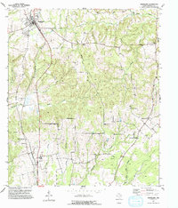
Editions of this 1951 Grapeland Map
Other maps of this area

1950 · Crockett
USGS Topo · 1:24,000

1950 · Crockett NE
USGS Topo · 1:24,000

1951 · Crockett
USGS Topo · 1:24,000

1951 · Berea
USGS Topo · 1:24,000

1951 · Crockett NE
USGS Topo · 1:24,000

1951 · Elkhart
USGS Topo · 1:62,500

1952 · Slocum
USGS Topo · 1:62,500

1953 · Palestine
USGS Topo · 1:250,000

1957 · Palestine
USGS Topo · 1:250,000

1964 · Porter Springs
USGS Topo · 1:24,000