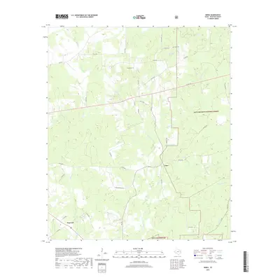
2019 Map of Berea
USGS Topo · Published 2019About this map
Hopewell and Arbor anchor this landscape of eastern Houston County, where the topography is defined by the dense drainages of the Davy Crockett National Forest. The map captures a rural Texas interior shaped by its watercourses, including the wide Hurricane Bayou and the winding White Rock Cr. This environment favored small-scale settlement and timber management rather than industrial expansion, evidenced by the dispersed nature of family landmarks and local institutions. Genealogists and local historians can locate community centers such as Concord Ch, Concord Cem, and English Cem, situated alongside winding rural routes like Democrat Rd. The prevalence of named water features like Wolf Lake, Dry Lake, and Peachtree Cr illustrates the hydrological network that influenced early road placement and land use across this heavily forested region.
Find a feature on this map
46 named features on this map. Tap any name to fly to it.
Don’t see what you’re looking for? This feature index may not catch every label — zoom into the map to look around manually.
Map Details
Editions of this 2019 Berea Map
This is the sole edition of this map. No revisions or reprints were ever made.
Other maps of this area
1950 · Crockett
USGS Topo · 1:24,000
1950 · Crockett NE
USGS Topo · 1:24,000
1950 · Ratcliff
USGS Topo · 1:24,000
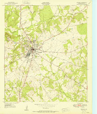
1951 · Crockett
USGS Topo · 1:24,000
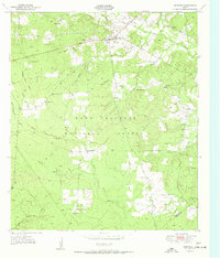
1951 · Kennard
USGS Topo · 1:24,000
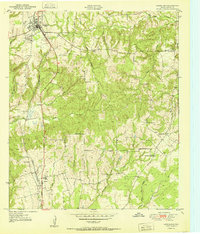
1951 · Grapeland
USGS Topo · 1:24,000
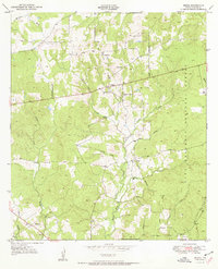
1951 · Berea
USGS Topo · 1:24,000
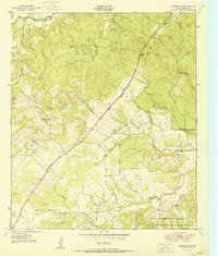
1951 · Crockett NE
USGS Topo · 1:24,000
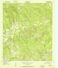
1951 · Ratcliff
USGS Topo · 1:24,000

1953 · Palestine
USGS Topo · 1:250,000