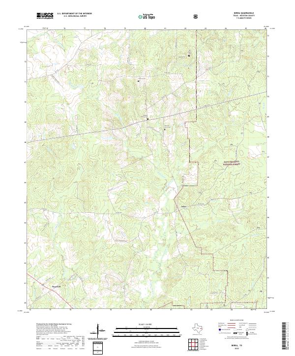
2022 Map of Berea
USGS Topo · Published 2022About this map
Small rural settlements and family-named cemeteries anchor this portion of Houston County, where the landscape transitions into the wooded expanses of the Davy Crockett National Forest. The community of Arbor sits near the center of the sheet, while Hopewell occupies the southwest corner along the intersection of local roads. The terrain is defined by a dense network of creek drainages, including the winding course of White Rock Cr and the waters of Hurricane Bayou. These waterways create a complex topography of ridges and bottoms, influencing the placement of early homesteads and ranching lands like the Hickory Creek Ranch and Pine Shadows Ranch. Genealogy researchers will find several well-preserved burial sites across the landscape, including Stantain Thomas Cem, Concord Cem, Pleasant Grove Cem, and the remote Jim English Cem located near Wolf Lake.
Find a feature on this map
43 named features on this map. Tap any name to fly to it.
Don’t see what you’re looking for? This feature index may not catch every label — zoom into the map to look around manually.
Map Details
Editions of this 2022 Berea Map
This is the sole edition of this map. No revisions or reprints were ever made.
Other maps of this area

1950 · Crockett
USGS Topo · 1:24,000

1950 · Crockett NE
USGS Topo · 1:24,000

1950 · Ratcliff
USGS Topo · 1:24,000

1951 · Crockett
USGS Topo · 1:24,000

1951 · Kennard
USGS Topo · 1:24,000

1951 · Grapeland
USGS Topo · 1:24,000

1951 · Berea
USGS Topo · 1:24,000

1951 · Crockett NE
USGS Topo · 1:24,000

1951 · Ratcliff
USGS Topo · 1:24,000

1953 · Palestine
USGS Topo · 1:250,000