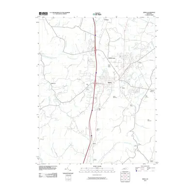
2010 Map of Berea
USGS Topo · Published 2010About this map
Berea serves as the central hub of this Madison County landscape, where the foothills of the Cumberland Plateau meet the Bluegrass region. The terrain is defined by prominent elevations such as Welch Mountain and Bear Mountain, which frame the lowlands of Long Hollow and Davis Hollow. Waterways like Silver Creek and the Paint Lick Creek drainage system dictate the historical placement of outlying settlements such as Wallaceton and Farristown.
Find a feature on this map
64 named features on this map. Tap any name to fly to it.
Don’t see what you’re looking for? This feature index may not catch every label — zoom into the map to look around manually.
Map Details
Editions of this 2010 Berea Map
This is the sole edition of this map. No revisions or reprints were ever made.
Other maps of this area

1892 · Richmond
USGS Topo · 1:125,000

1893 · London
USGS Topo · 1:125,000

1897 · Richmond
USGS Topo · 1:125,000

1897 · London
USGS Topo · 1:125,000

1952 · Berea
USGS Topo · 1:24,000

1952 · Paint Lick
USGS Topo · 1:24,000

1952 · Kirksville
USGS Topo · 1:24,000

1952 · Bighill
USGS Topo · 1:24,000

1952 · Moberly
USGS Topo · 1:24,000

1953 · Richmond South
USGS Topo · 1:24,000