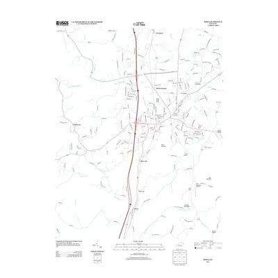
2013 Map of Berea
USGS Topo · Published 2013About this map
Middletown and the surrounding Bluegrass region are shown here as they appeared in the early 21st century, revealing a landscape defined by significant topographic relief and expanding infrastructure. The terrain transitions from the low-lying area of The Glades into the prominent rises of Welch Mountain and Dead Horse Knob. Small settlements such as Farristown, Wallaceton, and Slate Lick anchor the local geography, while Madison Airport sits at the northern edge of this Madison County corridor.
Find a feature on this map
192 named features on this map. Tap any name to fly to it.
Don’t see what you’re looking for? This feature index may not catch every label — zoom into the map to look around manually.
Map Details
Editions of this 2013 Berea Map
This is the sole edition of this map. No revisions or reprints were ever made.
Other maps of this area

1892 · Richmond
USGS Topo · 1:125,000

1893 · London
USGS Topo · 1:125,000

1897 · Richmond
USGS Topo · 1:125,000

1897 · London
USGS Topo · 1:125,000

1952 · Berea
USGS Topo · 1:24,000

1952 · Paint Lick
USGS Topo · 1:24,000

1952 · Kirksville
USGS Topo · 1:24,000

1952 · Bighill
USGS Topo · 1:24,000

1952 · Moberly
USGS Topo · 1:24,000

1953 · Richmond South
USGS Topo · 1:24,000