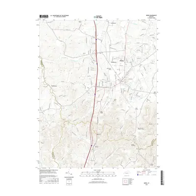
2016 Map of Berea
USGS Topo · Published 2016About this map
Berea and its surrounding college campus dominate this 2016 survey, where the institution of Berea Coll serves as a central landmark for the region. The landscape transitions from the developed corridors near Middletown and Farristown to the more dramatic elevations of the south and east. Here, the topography rises sharply toward Bear Mtn and Welch Mtn, separated by the deep incision of Long Hollow.
Find a feature on this map
153 named features on this map. Tap any name to fly to it.
Don’t see what you’re looking for? This feature index may not catch every label — zoom into the map to look around manually.
Map Details
Editions of this 2016 Berea Map
This is the sole edition of this map. No revisions or reprints were ever made.
Other maps of this area

1892 · Richmond
USGS Topo · 1:125,000

1893 · London
USGS Topo · 1:125,000

1897 · Richmond
USGS Topo · 1:125,000

1897 · London
USGS Topo · 1:125,000

1952 · Berea
USGS Topo · 1:24,000

1952 · Paint Lick
USGS Topo · 1:24,000

1952 · Kirksville
USGS Topo · 1:24,000

1952 · Bighill
USGS Topo · 1:24,000

1952 · Moberly
USGS Topo · 1:24,000

1953 · Richmond South
USGS Topo · 1:24,000