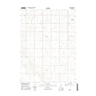
2017 Map of Berger
USGS Topo · Published 2017About this map
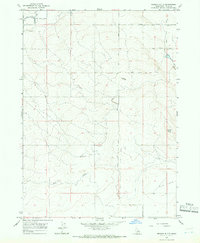
Agricultural development in southern Idaho is defined by the complex water management systems found in the high desert south of the Snake River. The small settlement of Berger serves as a central point in this landscape, where the grid of county roads meets a network of irrigation channels. The High Line North Canal and numerous laterals, including Lateral 213 and Lateral Number 17, distribute water across the territory to support the region's farming economy. Natural drainages like Cedar Draw and Desert Cr wind through the topography, contrasting with the strictly engineered lines of the irrigation system and the local road grid. To the northeast, the presence of Joslin Field - Magic Valley Regional Airport indicates the modern logistical importance of this Twin Falls County location, connecting the rural plains to broader regional networks.
Find a feature on this map
29 named features on this map. Tap any name to fly to it.
Don’t see what you’re looking for? This feature index may not catch every label — zoom into the map to look around manually.
Map Details
Editions of this 2017 Berger Map
This is the sole edition of this map. No revisions or reprints were ever made.
Other maps of this area
1950 · Filer
USGS Topo · 1:24,000
1950 · Jerome
USGS Topo · 1:62,500
1951 · Clover
USGS Topo · 1:24,000

1955 · Twin Falls
USGS Topo · 1:250,000

1958 · Twin Falls
USGS Topo · 1:250,000
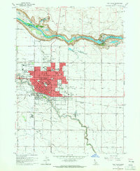
1964 · Twin Falls
USGS Topo · 1:24,000
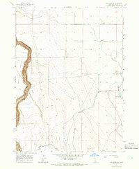
1965 · Hollister SW
USGS Topo · 1:24,000
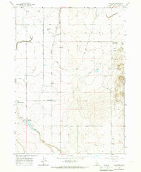
1965 · Hollister
USGS Topo · 1:24,000
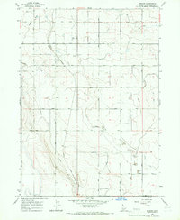
1965 · Berger
USGS Topo · 1:24,000
1965 · Berger Butte
USGS Topo · 1:24,000