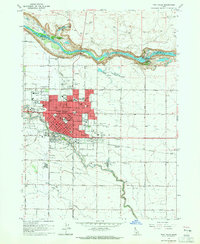
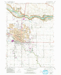
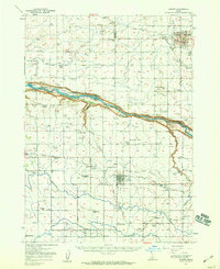
1964 Map of Twin Falls
USGS Topo · Published 1965About this map
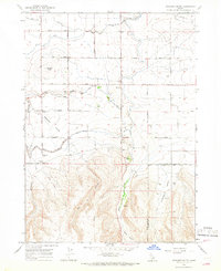
The Snake River cuts a deep canyon along the northern edge of this mid-1960s survey, separating Twin Falls from the gravel pits and springs of Jerome County. This era shows the city expanding toward the rim, marked by landmarks like the Perrine Memorial Bridge and the developing Lynnwood Shopping Center. The landscape is a study in irrigation and industry, where the Low Line Canal and Rock Creek support the local agricultural economy, evidenced by the large Sugar Factory and various fish hatcheries.
Find a feature on this map
57 named features on this map. Tap any name to fly to it.
Don’t see what you’re looking for? This feature index may not catch every label — zoom into the map to look around manually.
Map Details
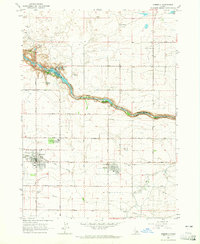
Editions of this 1964 Twin Falls Map
2 editions found
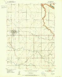
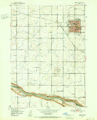
Other maps of this area
1950 · Filer
USGS Topo · 1:24,000
1950 · Jerome
USGS Topo · 1:24,000
1950 · Jerome
USGS Topo · 1:62,500

1955 · Twin Falls
USGS Topo · 1:250,000

1958 · Twin Falls
USGS Topo · 1:250,000
1964 · Kimberly
USGS Topo · 1:24,000
1964 · Falls City
USGS Topo · 1:24,000
1964 · Perrine
USGS Topo · 1:24,000
1965 · Stricker Butte
USGS Topo · 1:24,000
1965 · Berger
USGS Topo · 1:24,000