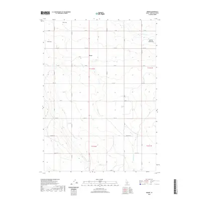
2020 Map of Berger
USGS Topo · Published 2020About this map
The high desert landscape south of the Snake River is defined by a rigorous grid of section-line roads and an intricate irrigation network. At the heart of this agricultural territory lies Berger, situated along the central north-south corridor of 2400 E. The land management here is visibly driven by water engineering, with the High Line North Canal feeding smaller distribution channels like Lateral 213, Lateral Number 15, and Lateral Number 21. These man-made watercourses contrast with the natural drainage of Desert Cr and the topographical depression of Cedar Draw, illustrating the systematic conversion of the arid Idaho plain into productive farmland.
Find a feature on this map
34 named features on this map. Tap any name to fly to it.
Don’t see what you’re looking for? This feature index may not catch every label — zoom into the map to look around manually.
Map Details
Editions of this 2020 Berger Map
This is the sole edition of this map. No revisions or reprints were ever made.
Other maps of this area

1950 · Filer
USGS Topo · 1:24,000

1950 · Jerome
USGS Topo · 1:62,500

1951 · Clover
USGS Topo · 1:24,000

1955 · Twin Falls
USGS Topo · 1:250,000

1958 · Twin Falls
USGS Topo · 1:250,000

1964 · Twin Falls
USGS Topo · 1:24,000

1965 · Hollister SW
USGS Topo · 1:24,000

1965 · Hollister
USGS Topo · 1:24,000

1965 · Berger
USGS Topo · 1:24,000

1965 · Berger Butte
USGS Topo · 1:24,000