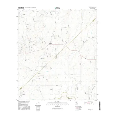
2016 Map of Bergheim
USGS Topo · Published 2016About this map
Fair Oaks Ranch and the small crossroads of Bergheim anchor this Hill Country landscape, where the borders of Kendall, Comal, and Bexar counties converge. The terrain is defined by a dense network of seasonal drainages and springs, including Cibolo Creek and the meandering Pleasant Valley Creek. The rural heritage of the area is evident in the numerous family cemeteries scattered across the topography, such as Kruckenmeier Cemetery, Saur Cemetery, and Willke Cemetery, which serve as vital markers for genealogical research. Private aviation is represented by Grosser Airport, while landmarks like Indian Bluff and Honey Creek Spring illustrate the distinctive natural character of the region. This survey captures a moment of suburban expansion into traditional ranching lands, with new residential developments like those found at Mira Monte and Lost Oaks beginning to trace over the older pastoral patterns.
Find a feature on this map
122 named features on this map. Tap any name to fly to it.
Don’t see what you’re looking for? This feature index may not catch every label — zoom into the map to look around manually.
Map Details
Editions of this 2016 Bergheim Map
This is the sole edition of this map. No revisions or reprints were ever made.
Other maps of this area

1920 · Smithsons Valley
USGS Topo · 1:62,500

1927 · Smithson Valley
USGS Topo · 1:62,500

1929 · Smithson Valley
USGS Topo · 1:62,500

1940 · Smithson Valley
USGS Topo · 1:62,500

1953 · Otis Ridge
USGS Topo · 1:24,000

1953 · Bulverde
USGS Topo · 1:24,000

1953 · Van Raub
USGS Topo · 1:24,000

1954 · San Antonio
USGS Topo · 1:250,000

1957 · Boerne
USGS Topo · 1:62,500

1957 · San Antonio
USGS Topo · 1:250,000