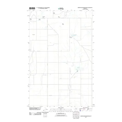
2011 Map of Berkholder Reservoir
USGS Topo · Published 2011About this map
Berkholder Reservoir and its associated Berkholder Dam serve as central landmarks in this Liberty County landscape, where water management is critical to the local geography. The area is defined by a series of significant drainage features known as coulees, including Alkali Coulee, Grandma Coulee, Big Coulee, and Steep Coulee. These features underscore the importance of runoff management in the Montana plains, particularly where they feed into structures like Mary Dam and Big Dam.
Find a feature on this map
22 named features on this map. Tap any name to fly to it.
Don’t see what you’re looking for? This feature index may not catch every label — zoom into the map to look around manually.
Map Details
Editions of this 2011 Berkholder Reservoir Map
This is the sole edition of this map. No revisions or reprints were ever made.
Other maps of this area

1954 · Shelby
USGS Topo · 1:250,000

1958 · Shelby
USGS Topo · 1:250,000

1962 · Cameron Lake
USGS Topo · 1:24,000

1962 · North Lothair School
USGS Topo · 1:24,000

1962 · Hawthorne School
USGS Topo · 1:24,000

1962 · Berkholder Reservoir
USGS Topo · 1:24,000

1962 · Mc Carters Lake
USGS Topo · 1:24,000

1962 · Blair Ranch
USGS Topo · 1:24,000

1962 · Haystack Butte
USGS Topo · 1:24,000

1962 · Mc Carters Lake SE
USGS Topo · 1:24,000