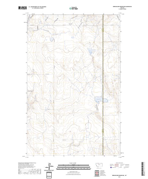
2024 Map of Berkholder Reservoir
USGS Topo · Published 2024About this map
The boundary between Toole County and Liberty County defines the eastern portion of this northern Montana landscape, where the drainage patterns of several major coulees dictate the rural layout. Significant water features such as Berkholder Reservoir and the Big Dam collect runoff in a terrain carved by the Big Coulee, Kinyon Coulee, and Antelope Coulee. The map shows a highly organized grid of section lines and gravel access roads characteristic of the region's agricultural and ranching heritage.
Find a feature on this map
26 named features on this map. Tap any name to fly to it.
Don’t see what you’re looking for? This feature index may not catch every label — zoom into the map to look around manually.
Map Details
Editions of this 2024 Berkholder Reservoir Map
This is the sole edition of this map. No revisions or reprints were ever made.
Other maps of this area

1954 · Shelby
USGS Topo · 1:250,000

1958 · Shelby
USGS Topo · 1:250,000

1962 · Cameron Lake
USGS Topo · 1:24,000

1962 · North Lothair School
USGS Topo · 1:24,000

1962 · Hawthorne School
USGS Topo · 1:24,000

1962 · Berkholder Reservoir
USGS Topo · 1:24,000

1962 · Mc Carters Lake
USGS Topo · 1:24,000

1962 · Blair Ranch
USGS Topo · 1:24,000

1962 · Haystack Butte
USGS Topo · 1:24,000

1962 · Mc Carters Lake SE
USGS Topo · 1:24,000