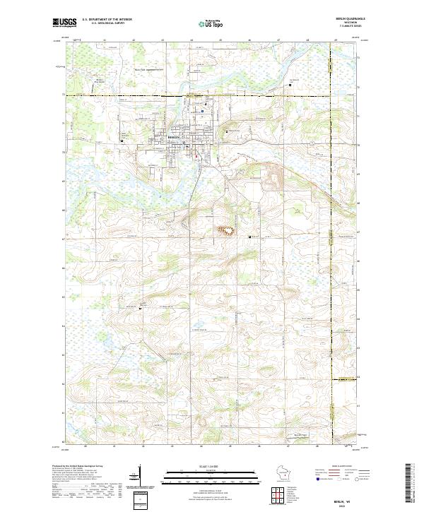
2022 Map of Berlin
USGS Topo · Published 2022About this map
The Fox River winds through the heart of Berlin, defining a landscape where historic riverfront industry meets the rural outskirts of Green Lake County. This modern survey illustrates the enduring footprint of the city, showing a dense network of streets like W Berlin St and E Huron St that once served as a hub for regional trade. The mapping reveals a significant concentration of local heritage sites, including several burial grounds such as Saint Michael's Cem, Saint Stanislaus Cem, and Oakwood Cem, which are essential for genealogical research in this part of Wisconsin.
Find a feature on this map
80 named features on this map. Tap any name to fly to it.
Don’t see what you’re looking for? This feature index may not catch every label — zoom into the map to look around manually.
Map Details
Editions of this 2022 Berlin Map
This is the sole edition of this map. No revisions or reprints were ever made.
Other maps of this area

1915 · Neshkoro
USGS Topo · 1:48,000

1916 · Ripon
USGS Topo · 1:48,000

1918 · Neshkoro
USGS Topo · 1:62,500

1918 · Ripon
USGS Topo · 1:62,500

1955 · Green Bay
USGS Topo · 1:250,000

1956 · Ripon
USGS Topo · 1:62,500

1957 · Madison
USGS Topo · 1:250,000

1960 · Madison
USGS Topo · 1:250,000

1961 · Poy Sippi
USGS Topo · 1:62,500

1961 · Redgranite
USGS Topo · 1:62,500