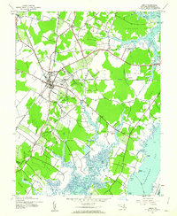
1943 Map of Berlin
USGS Topo · Published 1962About this map
The town of Berlin serves as the hub for this Worcester County landscape, where the Pennsylvania RR and the Baltimore and Eastern RR intersect. This 1940s topography captures the region's agricultural and industrial character through features like Trappe Millpond and Bassett Millpond, while local heritage is anchored by landmarks such as the Buckingham Cem and Sinepuxent Ch.
Find a feature on this map
65 named features on this map. Tap any name to fly to it.
Don’t see what you’re looking for? This feature index may not catch every label — zoom into the map to look around manually.
Map Details
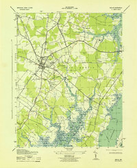
Editions of this 1943 Berlin Map
2 editions found
Other maps of this area

1901 · Snow Hill
USGS Topo · 1:62,500

1901 · Green Run
USGS Topo · 1:62,500

1901 · Ocean City
USGS Topo · 1:62,500

1902 · Pittsville
USGS Topo · 1:62,500

1938 · Green Run
USGS Topo · 1:62,500

1942 · Ocean City
USGS Topo · 1:62,500

1942 · Ninepin
USGS Topo · 1:24,000

1942 · Ocean City
USGS Topo · 1:24,000

1942 · Tingles Island
USGS Topo · 1:24,000

1942 · Wesley
USGS Topo · 1:24,000