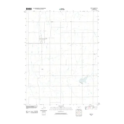
2010 Map of Bern
USGS Topo · Published 2010About this map
Bern stands as a central agricultural hub in this portion of Nemaha County, defined by a structured grid of streets including Main St and Herold St. The surrounding countryside is primarily shaped by the winding paths of Fourmile Creek and Wolf Pen Creek, which cut through the farm plots. Family history and local heritage are anchored by several established burial sites, such as Fourmile Cemetery in the north and Williams Cemetery and Strahm Cemetery further south. To the southeast, the landscape transitions toward Sabetha City Lake, a significant water feature accessed by N Lake Rd and Bunce Palmer Dr. The map illustrates a well-connected rural network where historic section lines, now roads like Penn Ave and Oil Rd, facilitate movement between the town center and the outlying creek valleys.
Find a feature on this map
18 named features on this map. Tap any name to fly to it.
Don’t see what you’re looking for? This feature index may not catch every label — zoom into the map to look around manually.
Map Details
Editions of this 2010 Bern Map
This is the sole edition of this map. No revisions or reprints were ever made.
Other maps of this area

1888 · Hiawatha
USGS Topo · 1:125,000

1889 · Seneca
USGS Topo · 1:125,000

1894 · Seneca
USGS Topo · 1:125,000

1894 · Hiawatha
USGS Topo · 1:125,000

1916 · Humboldt
USGS Topo · 1:62,500

1950 · Kansas City
USGS Topo · 1:250,000

1954 · Kansas City
USGS Topo · 1:250,000

1955 · Manhattan
USGS Topo · 1:250,000

1955 · Nebraska City
USGS Topo · 1:250,000

1955 · Lincoln
USGS Topo · 1:250,000