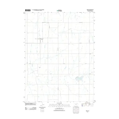
2012 Map of Bern
USGS Topo · Published 2012About this map
Bern, Kansas, is positioned at a geographic crossroads in northern Nemaha County, where the street grid of Main St and S W St meets the Railroad. This 2012 survey illustrates a landscape primarily defined by its drainage basins and agricultural infrastructure. Numerous small family or community burying grounds are scattered across the township, including Bern Cem, Fourmile Cem, and the Williams Cem near Deer Cr. These small cemeteries serve as vital touchstones for genealogists tracing the early settlement patterns of the region.
Find a feature on this map
25 named features on this map. Tap any name to fly to it.
Don’t see what you’re looking for? This feature index may not catch every label — zoom into the map to look around manually.
Map Details
Editions of this 2012 Bern Map
This is the sole edition of this map. No revisions or reprints were ever made.
Other maps of this area

1888 · Hiawatha
USGS Topo · 1:125,000

1889 · Seneca
USGS Topo · 1:125,000

1894 · Seneca
USGS Topo · 1:125,000

1894 · Hiawatha
USGS Topo · 1:125,000

1916 · Humboldt
USGS Topo · 1:62,500

1950 · Kansas City
USGS Topo · 1:250,000

1954 · Kansas City
USGS Topo · 1:250,000

1955 · Manhattan
USGS Topo · 1:250,000

1955 · Nebraska City
USGS Topo · 1:250,000

1955 · Lincoln
USGS Topo · 1:250,000