
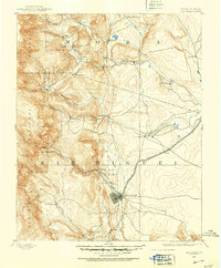
1890 Map of Bernal
USGS Topo · Published 1956About this map
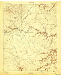
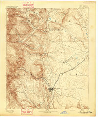
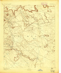
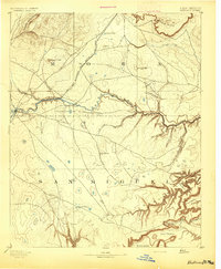
The Atchison Topeka and Santa Fe Railroad cuts through the northern high country of this 1890 survey, tracing a vital corridor between Old Bernal and San Jose. This era finds a landscape shaped by both the iron rail and the winding course of the Rio Pecos, where traditional Hispanic settlements like Anton Chico, La Cuesta, and San Miguel line the river valley. The topography is defined by significant mesas and canyons, including the prominent Bernal Hill and the broad Canyon Blanco.
Find a feature on this map
35 named features on this map. Tap any name to fly to it.
Don’t see what you’re looking for? This feature index may not catch every label — zoom into the map to look around manually.
Map Details
Editions of this 1890 Bernal Map
This is the sole edition of this map. No revisions or reprints were ever made.
Other maps of this area
1889 · Las Vegas
USGS Topo · 1:125,000

1889 · Santa Fe
USGS Topo · 1:125,000

1891 · Bernal
USGS Topo · 1:125,000

1891 · Las Vegas
USGS Topo · 1:125,000
1892 · Watrous
USGS Topo · 1:125,000

1892 · Corazon
USGS Topo · 1:125,000
1893 · Las Vegas
USGS Topo · 1:125,000
1894 · Corazon
USGS Topo · 1:125,000
1894 · Watrous
USGS Topo · 1:125,000

1894 · Santa Fe
USGS Topo · 1:125,000