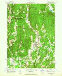
1961 Map of Bernardston
USGS Topo · Published 1963About this map
Falls River carves a central path through this landscape, defining the corridor for the Boston and Maine Railroad and interstate travel in the early 1960s. The village of Bernardston serves as a primary hub, while smaller historical points like North Bernardston and Hales Crossing sit at the intersections of older country routes. Topography dominates the western and eastern edges, with named peaks like Wildcat Mtn and Pond Mtn rising above the river valley.
Find a feature on this map
60 named features on this map. Tap any name to fly to it.
Don’t see what you’re looking for? This feature index may not catch every label — zoom into the map to look around manually.
Map Details
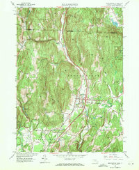
Editions of this 1961 Bernardston Map
2 editions found
Other maps of this area

1887 · Warwick
USGS Topo · 1:62,500

1889 · Warwick
USGS Topo · 1:62,500

1890 · Greenfield
USGS Topo · 1:62,500

1891 · Brattleboro
USGS Topo · 1:62,500

1893 · Brattleboro
USGS Topo · 1:62,500

1894 · Greenfield
USGS Topo · 1:62,500

1894 · Warwick
USGS Topo · 1:62,500

1898 · Keene
USGS Topo · 1:62,500

1932 · Brattleboro
USGS Topo · 1:48,000

1932 · Warwick
USGS Topo · 1:48,000