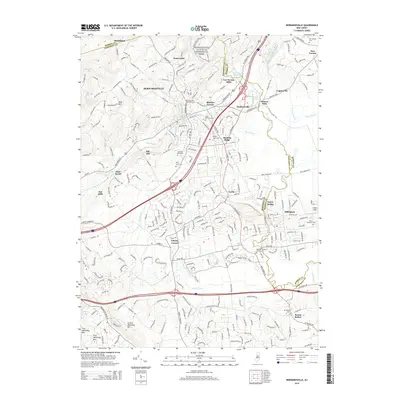
2014 Map of Bernardsville
USGS Topo · Published 2014About this map
Morristown National Historical Park anchors the northern portion of this landscape, where the Passaic River and its numerous tributaries like Indian Grave Brook and Primrose Brook carve through the terrain of Mine Mtn. The 2014 survey reveals a suburbanized corridor along Bernardsville and Basking Ridge, yet preserves the locations of early industrial sites such as Van Dorans Mills and Osborn Mills. Genealogy is well-served by the density of documented burial grounds, including Saint Bernards Cem and the Millington Baptist Churchyard. The southern edge is defined by the sharp ridges of First Watchung Mtn and Second Watchung Mtn, which frame the lowlands of the Dead River. This modern topographic study captures the persistence of colonial-era place names like Liberty Corner and Logansville amidst a network of major transportation routes including 287 and 78.
Find a feature on this map
56 named features on this map. Tap any name to fly to it.
Don’t see what you’re looking for? This feature index may not catch every label — zoom into the map to look around manually.
Map Details
Editions of this 2014 Bernardsville Map
This is the sole edition of this map. No revisions or reprints were ever made.
Other maps of this area

1888 · Plainfield
USGS Topo · 1:62,500

1888 · Morristown
USGS Topo · 1:62,500

1888 · Lake Hopatcong
USGS Topo · 1:62,500

1891 · Somerville
USGS Topo · 1:62,500

1893 · Plainfield
USGS Topo · 1:62,500

1893 · Somerville
USGS Topo · 1:62,500

1894 · Morristown
USGS Topo · 1:62,500

1894 · Lake Hopatcong
USGS Topo · 1:62,500

1898 · Lake Hopatcong
USGS Topo · 1:62,500

1898 · Morristown
USGS Topo · 1:62,500
Featured Places
- Bridgewater Township, NJ
- Long Hill Township, NJ
- Bedminster Township, NJ
- Bernardsville, NJ
- Basking Ridge, NJ