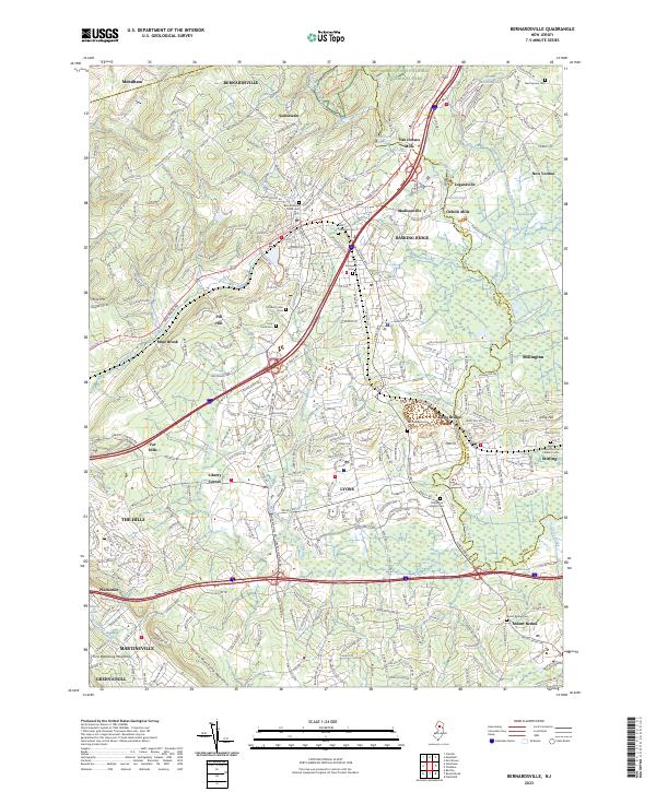
2023 Map of Bernardsville
USGS Topo · Published 2023About this map
The Passaic River and Dead River wind through this part of Somerset and Morris counties, where the ridges of First Watchung Mountain and Second Watchung Mountain shape the local topography. Modern infrastructure like I-287 and the NJ Transit rail lines follow the corridors established by earlier settlements such as Bernardsville, Basking Ridge, and Lyons. The persistence of early industrial sites is evident in labels for Osborn Mills and Van Dorans Mills, highlighting the long-standing water-powered economy of the area.
Find a feature on this map
65 named features on this map. Tap any name to fly to it.
Don’t see what you’re looking for? This feature index may not catch every label — zoom into the map to look around manually.
Map Details
Editions of this 2023 Bernardsville Map
This is the sole edition of this map. No revisions or reprints were ever made.
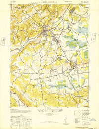
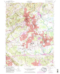
Historical Maps of Madisonville Through Time
3 maps found
Featured Locations
- Bridgewater Township, NJ
- Bedminster Township, NJ
- Bernardsville, NJ
- Long Hill Township, NJ
- Basking Ridge, Bernards Township