
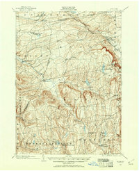
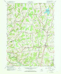
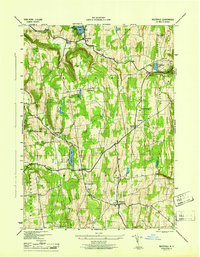
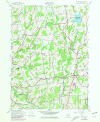
1900 Map of Berne
USGS Topo · Published 1954This historical map portrays the area of Berne in 1900, primarily covering Albany County as well as portions of Schoharie County and Schenectady County. Featuring a scale of 1:62500, this map provides a highly detailed snapshot of the terrain, roads, buildings, counties, and historical landmarks in the Berne region at the time. Published in 1954, it is one of 2 known editions of this map due to revisions or reprints.
Find a feature on this map
53 named features on this map. Tap any name to fly to it.
Don’t see what you’re looking for? This feature index may not catch every label — zoom into the map to look around manually.
Map Details
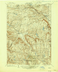
Editions of this 1900 Berne Map
2 editions found
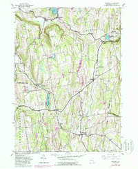
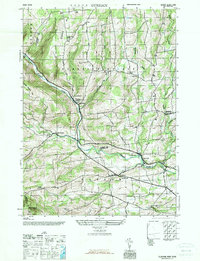
Historical Maps of West Berne Through Time
14 maps found
1900 Berne
Albany County, NY
1903 Berne
Albany County, NY
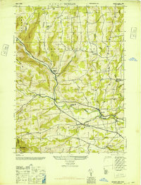
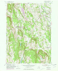
1943 Westerlo
Albany County, NY
1945 Durham
Albany County, NY
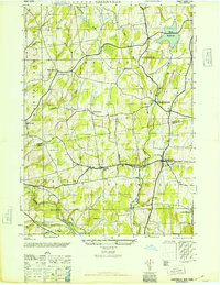
1945 Greenville
Albany County, NY
1946 Durham
Albany County, NY
1946 Greenville
Albany County, NY
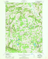
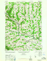
1946 Rensselaerville
Albany County, NY
1946 Westerlo
Albany County, NY
1953 Clarksville
Albany County, NY
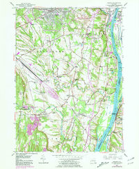
1953 Delmar
Albany County, NY
1967 Durham
Albany County, NY
1978 Delmar
Albany County, NY
1980 Greenville
Albany County, NY