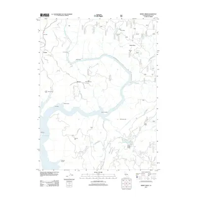
2012 Map of Berry Creek
USGS Topo · Published 2012About this map
The N Fork Feather River carves a deep path through this landscape, defining the industrial and topographical character of the area north of Lake Oroville. Infrastructure related to the river’s power is evident at the Poe Powerhouse and nearby Tunnel Number Seven, which underscore the hydroelectric and engineering legacy of this portion of Butte County. Small mountain settlements and points of interest like Berry Creek, Jarbo Gap, and Big Bend are connected by a network of winding roads, including the Oroville Quincy Hwy and Bunker Hill Mine Rd.
Find a feature on this map
66 named features on this map. Tap any name to fly to it.
Don’t see what you’re looking for? This feature index may not catch every label — zoom into the map to look around manually.
Map Details
Editions of this 2012 Berry Creek Map
This is the sole edition of this map. No revisions or reprints were ever made.
Other maps of this area

1888 · Bidwell Bar
USGS Topo · 1:125,000

1891 · Bidwell Bar
USGS Topo · 1:125,000

1891 · Chico
USGS Topo · 1:125,000

1893 · Chico
USGS Topo · 1:125,000

1893 · Bidwell Bar
USGS Topo · 1:125,000

1895 · Bidwell Bar
USGS Topo · 1:125,000

1895 · Chico
USGS Topo · 1:125,000

1897 · Bidwell Bar
USGS Topo · 1:125,000

1912 · Oroville
USGS Topo · 1:31,680

1942 · Oroville
USGS Topo · 1:62,500