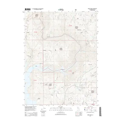
2015 Map of Berry Creek
USGS Topo · Published 2015About this map
Lake Oroville dominates the central landscape of this Butte County region, where the reservoir waters meet the steep drainage systems of the Sierra Nevada foothills. The map documents the complex topography between the Lassen National Forest and Plumas National Forest, centered around the community of Berry Creek. Settlement patterns here follow both the high ridges and the historical access points along the water, evidenced by locations such as Berry Creek Bar and Island Bar.
Find a feature on this map
64 named features on this map. Tap any name to fly to it.
Don’t see what you’re looking for? This feature index may not catch every label — zoom into the map to look around manually.
Map Details
Editions of this 2015 Berry Creek Map
This is the sole edition of this map. No revisions or reprints were ever made.
Other maps of this area

1888 · Bidwell Bar
USGS Topo · 1:125,000

1891 · Bidwell Bar
USGS Topo · 1:125,000

1891 · Chico
USGS Topo · 1:125,000

1893 · Chico
USGS Topo · 1:125,000

1893 · Bidwell Bar
USGS Topo · 1:125,000

1895 · Bidwell Bar
USGS Topo · 1:125,000

1895 · Chico
USGS Topo · 1:125,000

1897 · Bidwell Bar
USGS Topo · 1:125,000

1912 · Oroville
USGS Topo · 1:31,680

1942 · Oroville
USGS Topo · 1:62,500