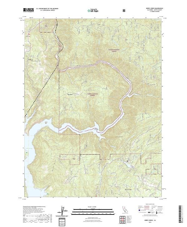
2021 Map of Berry Creek
USGS Topo · Published 2021About this map
Lake Oroville and the North Fork Feather River dominate this modern topographic view of the Butte County foothills. The map documents a rugged landscape where the river winds through steep canyons and around historic river bars like Berry Creek Bar and Island Bar. The transition from the lower reservoir elevations to the high ridges is marked by distinctive terrain features such as Big Bend Mtn and Chino Ridge.
Find a feature on this map
92 named features on this map. Tap any name to fly to it.
Don’t see what you’re looking for? This feature index may not catch every label — zoom into the map to look around manually.
Map Details
Editions of this 2021 Berry Creek Map
This is the sole edition of this map. No revisions or reprints were ever made.
Other maps of this area

1888 · Bidwell Bar
USGS Topo · 1:125,000

1891 · Bidwell Bar
USGS Topo · 1:125,000

1891 · Chico
USGS Topo · 1:125,000

1893 · Chico
USGS Topo · 1:125,000

1893 · Bidwell Bar
USGS Topo · 1:125,000

1895 · Bidwell Bar
USGS Topo · 1:125,000

1895 · Chico
USGS Topo · 1:125,000

1897 · Bidwell Bar
USGS Topo · 1:125,000

1912 · Oroville
USGS Topo · 1:31,680

1942 · Oroville
USGS Topo · 1:62,500