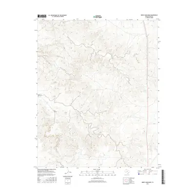
2016 Map of Berry Sand Draw
USGS Topo · Published 2016About this map
Berry Sand Draw and the surrounding Potter County landscape are defined by a complex network of seasonal drainages and sharp terrain breaks. This 2016 survey highlights the rugged transition from the high plains down into the Canadian River basin tributaries. The northern reaches are carved by the winding paths of Alibates Cr and Coetas Creek, while the southwestern portion features the prominent Box Canyon and the isolated Pretty Spring. This area of the Texas Panhandle remains largely undeveloped, with human impact primarily limited to the passage of State Highway 136 and FM 1342 through the eastern sections. The map provides a detailed look at the erosional patterns of Chicken Creek and Bonita Creek, tracing the natural movement of water across this arid high-country environment.
Find a feature on this map
12 named features on this map. Tap any name to fly to it.
Don’t see what you’re looking for? This feature index may not catch every label — zoom into the map to look around manually.
Map Details
Editions of this 2016 Berry Sand Draw Map
This is the sole edition of this map. No revisions or reprints were ever made.
Other maps of this area

1934 · Cliffside
USGS Topo · 1:62,500

1936 · Fourways
USGS Topo · 1:62,500

1936 · Cliffside
USGS Topo · 1:62,500

1939 · Sanford
USGS Topo · 1:62,500

1953 · Chunky
USGS Topo · 1:24,000

1953 · Alibates Ranch
USGS Topo · 1:24,000

1953 · Pleasant Valley
USGS Topo · 1:24,000

1953 · Deal
USGS Topo · 1:24,000

1953 · Mayer
USGS Topo · 1:24,000

1953 · McDowell Creek
USGS Topo · 1:24,000