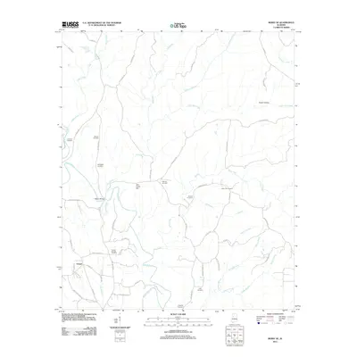
2011 Map of Berry SE
USGS Topo · Published 2011About this map
The North River and its numerous tributaries, including Tyro Creek and Bear Creek, define the landscape of this rural Alabama region in the early 21st century. The settlement of Gorgas is positioned in the southwest, while the rest of the terrain is marked by a high density of family and community burial grounds, such as Johnson Cemetery, Willingham Cemetery, and Oregonia Cemetery. This pattern of rural land use is reinforced by the network of local roads like Old Jasper Rd and Evanstown Rd, which connect these scattered cultural landmarks across the drainage basins of Cedar Creek and Wallace Branch.
Find a feature on this map
61 named features on this map. Tap any name to fly to it.
Don’t see what you’re looking for? This feature index may not catch every label — zoom into the map to look around manually.
Map Details
Editions of this 2011 Berry SE Map
This is the sole edition of this map. No revisions or reprints were ever made.
Other maps of this area

1893 · Jasper
USGS Topo · 1:125,000

1899 · Brookwood
USGS Topo · 1:125,000

1926 · Samantha
USGS Topo · 1:48,000

1928 · Samantha
USGS Topo · 1:62,500

1929 · Searles
USGS Topo · 1:48,000

1934 · Searles
USGS Topo · 1:62,500

1949 · Oakman
USGS Topo · 1:24,000

1949 · Wiley
USGS Topo · 1:24,000

1951 · Oakman
USGS Topo · 1:24,000

1951 · Wiley
USGS Topo · 1:24,000