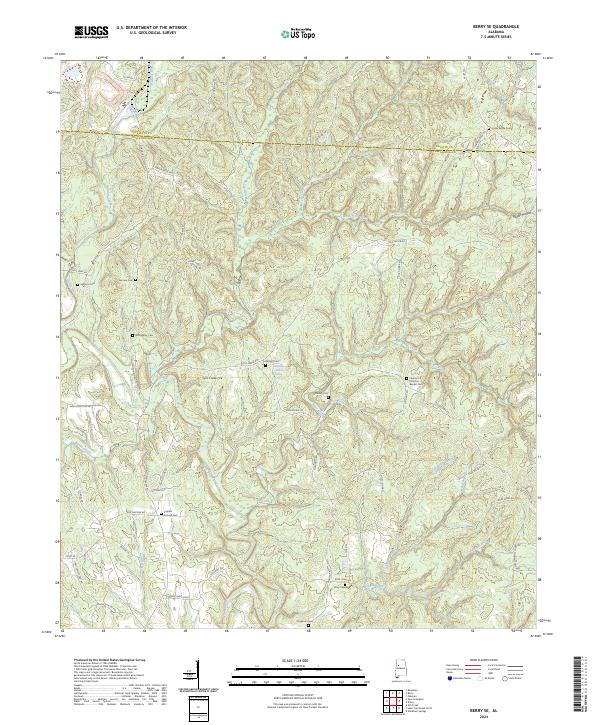
2024 Map of Berry SE
USGS Topo · Published 2024About this map
The borderlands of Fayette and Tuscaloosa County are defined here by a network of creeks and numerous rural burial grounds. The terrain is marked by prominent elevations like Tyro Creek Hill and deep hollows such as Poplar Hollow. The area is centered on small community hubs like Bethlehem Church and a high density of family and community cemeteries, including Union Grove Cem, Sterling Cem, and the Liberty Hill Primitive Baptist Cem. Drainage follows several local systems, notably Bear Creek, Tyro Creek, and Little Yellow Creek, which carve through the landscape. This modern survey shows a region where local identity remains tied to longstanding church sites and family-named roads like Gorgas Rd, Doc Norris Rd, and Jim Essary Rd, preserving the traditional rural layout of the Alabama interior.
Find a feature on this map
69 named features on this map. Tap any name to fly to it.
Don’t see what you’re looking for? This feature index may not catch every label — zoom into the map to look around manually.
Map Details
Editions of this 2024 Berry SE Map
This is the sole edition of this map. No revisions or reprints were ever made.
Other maps of this area

1893 · Jasper
USGS Topo · 1:125,000

1899 · Brookwood
USGS Topo · 1:125,000

1926 · Samantha
USGS Topo · 1:48,000

1928 · Samantha
USGS Topo · 1:62,500

1929 · Searles
USGS Topo · 1:48,000

1934 · Searles
USGS Topo · 1:62,500

1949 · Oakman
USGS Topo · 1:24,000

1949 · Wiley
USGS Topo · 1:24,000

1951 · Oakman
USGS Topo · 1:24,000

1951 · Wiley
USGS Topo · 1:24,000