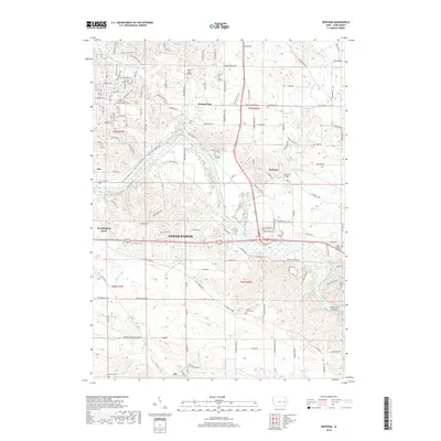
2018 Map of Bertram
USGS Topo · Published 2018About this map
The Cedar River dictates the landscape of this portion of Linn County, winding southeast through a corridor of wooded islands and the Cedar River Sandbar. This 2018 survey captures the interface between the expanding eastern reach of Cedar Rapids and the more established agricultural and wooded zones surrounding the town of Bertram. To the north, Indian Creek and its namesake Indian Creek Bridge frame the transition into suburban developments like Vernon View and Worthington Acres.
Find a feature on this map
120 named features on this map. Tap any name to fly to it.
Don’t see what you’re looking for? This feature index may not catch every label — zoom into the map to look around manually.
Map Details
Editions of this 2018 Bertram Map
This is the sole edition of this map. No revisions or reprints were ever made.
Other maps of this area

1887 · Cedar Rapids
USGS Topo · 1:62,500

1888 · Marion
USGS Topo · 1:62,500

1889 · Marion
USGS Topo · 1:62,500

1890 · Anamosa
USGS Topo · 1:62,500

1891 · Mechanicsville
USGS Topo · 1:62,500

1891 · Cedar Rapids
USGS Topo · 1:62,500

1894 · Mechanicsville
USGS Topo · 1:62,500

1900 · Anamosa
USGS Topo · 1:125,000

1901 · Stanwood
USGS Topo · 1:125,000

1903 · Fairfax
USGS Topo · 1:125,000