Loading...
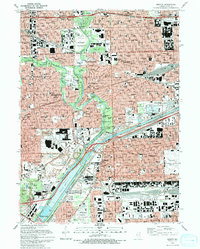
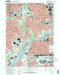
Loading map...1993 Map of Berwyn
USGS Topo · Published 1993About this map
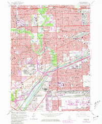
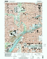
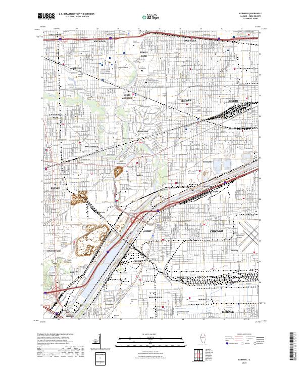
The Des Plaines River and the Chicago Sanitary and Ship Canal anchor this detailed view of the western Chicago suburbs. The landscape is defined by massive public and institutional grounds, notably the Brookfield Zoo and a sprawling corridor of memorial sites including the Waldheim Cemetery, Forest Home Cemetery, and several Jewish Cemeteries. These large green spaces, alongside the Miller Meadow, provide a sharp contrast to the dense residential grids of Berwyn and Cicero.
Find a feature on this map
158 named features on this map. Tap any name to fly to it.
Don’t see what you’re looking for? This feature index may not catch every label — zoom into the map to look around manually.
Map Details
Date Portrayed1993
Date Published1993
PublisherU.S. Geological Survey
Map TypeTopographic
Scale1:24000
Physical Dimensions21.5 x 26.8 inches
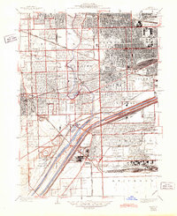
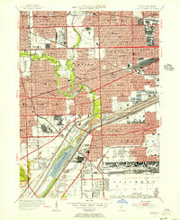
Editions of this 1993 Berwyn Map
2 editions found
Historical Maps of Chicago Through Time
6 maps found
Featured Locations
Source Details
SourceU.S. Geological Survey
CopyrightPublic Domain