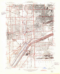
1928 Map of Berwyn
USGS Topo · Published 1945About this map
The dense industrial and residential corridor of western Cook County is revealed during a transformative period of growth between the world wars. Major transit arteries like Ogden Ave. and Archer Ave. cut through established settlements, while the massive Clearing Industrial District and Municipal Airport define the southern landscape. The map highlights a concentration of institutional sites, including Hines Hospital, Vaughn General Hospital, and a sprawling network of burial grounds such as Concordia Cemetery and Waldheim Cemetery.
Find a feature on this map
70 named features on this map. Tap any name to fly to it.
Don’t see what you’re looking for? This feature index may not catch every label — zoom into the map to look around manually.
Map Details
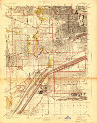
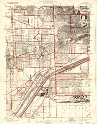
Editions of this 1928 Berwyn Map
3 editions found
Other maps of this area

1889 · Chicago
USGS Topo · 1:62,500

1890 · Des Plaines
USGS Topo · 1:62,500

1891 · Chicago
USGS Topo · 1:62,500

1891 · Riverside
USGS Topo · 1:62,500

1892 · Calumet
USGS Topo · 1:62,500

1893 · Calumet
USGS Topo · 1:62,500

1893 · Riverside
USGS Topo · 1:62,500

1894 · Des Plaines
USGS Topo · 1:62,500

1900 · Chicago
USGS Topo · 1:62,500

1900 · Des Plaines
USGS Topo · 1:62,500