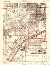
1928 Map of Berwyn
USGS Topo · Published 1933About this map
The Chicago Sanitary and Ship Canal and the older Illinois and Michigan Canal cut a diagonal path through this industrialized landscape, illustrating the transition of Midwestern shipping and transit. Heavy rail networks, including the Indiana Harbor Belt and the Chicago and Alton, underscore the area's role as a vital transportation hub. In the northern section, a cluster of large burial grounds like Concordia Cemetery and Waldheim Cemetery are established alongside the Des Plaines River.
Find a feature on this map
63 named features on this map. Tap any name to fly to it.
Don’t see what you’re looking for? This feature index may not catch every label — zoom into the map to look around manually.
Map Details
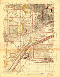
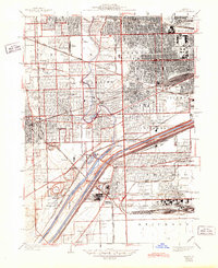
Editions of this 1928 Berwyn Map
3 editions found
Other maps of this area

1889 · Chicago
USGS Topo · 1:62,500

1890 · Des Plaines
USGS Topo · 1:62,500

1891 · Chicago
USGS Topo · 1:62,500

1891 · Riverside
USGS Topo · 1:62,500

1892 · Calumet
USGS Topo · 1:62,500

1893 · Calumet
USGS Topo · 1:62,500

1893 · Riverside
USGS Topo · 1:62,500

1894 · Des Plaines
USGS Topo · 1:62,500

1900 · Chicago
USGS Topo · 1:62,500

1900 · Des Plaines
USGS Topo · 1:62,500