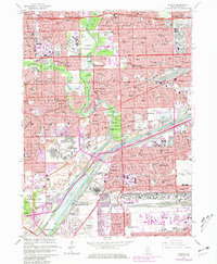
1963 Map of Berwyn
USGS Topo · Published 1981About this map
The Des Plaines River and the parallel industrial corridors of the Chicago Sanitary and Ship Canal and Illinois and Michigan Canal form the backbone of this mid-century suburban landscape. This era captures a densely built environment where residential neighborhoods in Berwyn, Cicero, and Maywood transition into the heavy industrial and transport zones of the Summit and McCook areas. The map reveals an incredible concentration of institutional sites, from the expansive VA Hospital at Hines to the numerous large-scale burial grounds like Waldheim Cemetery and Resurrection Cemetery. Transport infrastructure is prominent, featuring the Belt Railway Of Chicago and the Midway Airport at the eastern edge. Local life is documented through an extensive network of parish schools such as St Rene Sch and St Marys Sch, alongside massive quarries and the iconic Brookfield Zoo.
Find a feature on this map
132 named features on this map. Tap any name to fly to it.
Don’t see what you’re looking for? This feature index may not catch every label — zoom into the map to look around manually.
Map Details
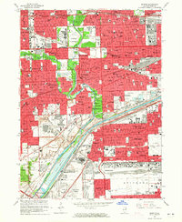
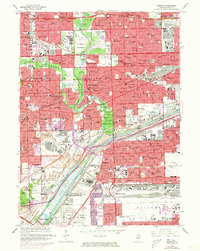
Editions of this 1963 Berwyn Map
3 editions found
Other maps of this area

1889 · Chicago
USGS Topo · 1:62,500

1890 · Des Plaines
USGS Topo · 1:62,500

1891 · Chicago
USGS Topo · 1:62,500

1891 · Riverside
USGS Topo · 1:62,500

1892 · Calumet
USGS Topo · 1:62,500

1893 · Calumet
USGS Topo · 1:62,500

1893 · Riverside
USGS Topo · 1:62,500

1894 · Des Plaines
USGS Topo · 1:62,500

1900 · Chicago
USGS Topo · 1:62,500

1900 · Des Plaines
USGS Topo · 1:62,500