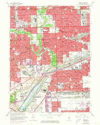
1963 Map of Berwyn
USGS Topo · Published 1973About this map
The Des Plaines River and the industrial corridors of the Chicago Sanitary and Ship Canal define this 1963 landscape, capturing the dense residential and industrial expansion of Chicago's western suburbs. Industrial hubs like McCook and Hodgkins are marked by extensive quarries, while the transportation network is anchored by Midway Airport and several major rail lines including the Indiana Harbor Belt RR.
Find a feature on this map
78 named features on this map. Tap any name to fly to it.
Don’t see what you’re looking for? This feature index may not catch every label — zoom into the map to look around manually.
Map Details
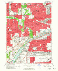
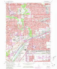
Editions of this 1963 Berwyn Map
3 editions found
Other maps of this area

1889 · Chicago
USGS Topo · 1:62,500

1890 · Des Plaines
USGS Topo · 1:62,500

1891 · Chicago
USGS Topo · 1:62,500

1891 · Riverside
USGS Topo · 1:62,500

1892 · Calumet
USGS Topo · 1:62,500

1893 · Calumet
USGS Topo · 1:62,500

1893 · Riverside
USGS Topo · 1:62,500

1894 · Des Plaines
USGS Topo · 1:62,500

1900 · Chicago
USGS Topo · 1:62,500

1900 · Des Plaines
USGS Topo · 1:62,500