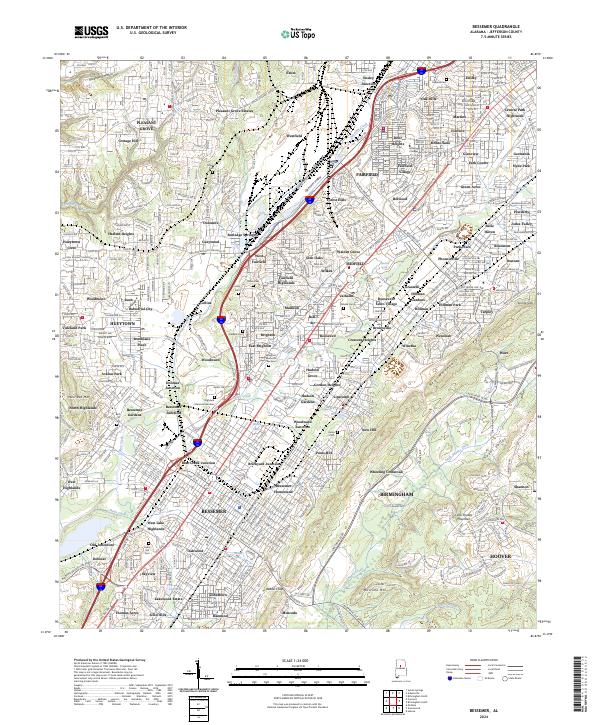
2024 Map of Bessemer
USGS Topo · Published 2024About this map
Bessemer serves as the focal point for this industrial landscape, where the dense grid of the city meets a complex network of rail junctions and industrial neighborhoods. The terrain is defined by the prominent ridge of Red Mountain, which separates the developed corridors from the Shades Valley to the southeast. Historically significant nodes like Dolomite and Old Jonesboro sit alongside specialized districts such as Industrial City and Bush, reflecting the region's deep ties to iron and steel production.
Find a feature on this map
141 named features on this map. Tap any name to fly to it.
Don’t see what you’re looking for? This feature index may not catch every label — zoom into the map to look around manually.
Map Details
Editions of this 2024 Bessemer Map
This is the sole edition of this map. No revisions or reprints were ever made.
Other maps of this area

1889 · Birmingham
USGS Topo · 1:125,000

1890 · Bessemer
USGS Topo · 1:125,000

1892 · Birmingham
USGS Topo · 1:125,000

1892 · Bessemer
USGS Topo · 1:125,000

1893 · Jasper
USGS Topo · 1:125,000

1895 · Birmingham
USGS Topo · 1:125,000

1899 · Brookwood
USGS Topo · 1:125,000

1904 · Birmingham Coal District
USGS Topo · 1:62,500

1905 · Bessemer Iron District
USGS Topo · 1:62,500

1906 · Birmingham Special
USGS Topo · 1:62,500