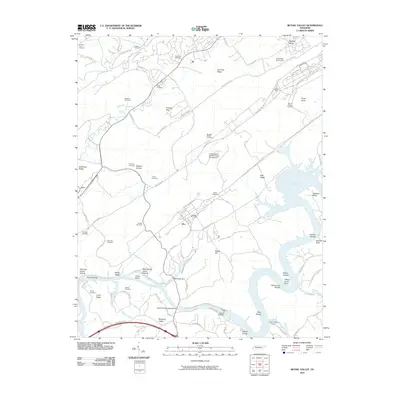
2010 Map of Bethel Valley
USGS Topo · Published 2010About this map
The United States Atomic Energy Commission presence defines this section of the Clinch River valley, where mid-century federal land acquisitions and industrial security intersect with older Appalachian settlement patterns. The landscape is marked by the winding river and a network of security routes like the D O E N Patrol Rd and New Zion Patrol Rd. Significant topographical features include Haw Ridge and East Fork Ridge, which separate the industrial zones from early family homesteads and churchyards. Genealogists will find a high density of burial sites such as Hembree Cemetery, Douglas Chapel Cemetery, and Mount Vernon Cemetery. The river's character is shaped by the Melton Hill Dam, which created the large reservoir around Gallaher Bend and submerged numerous historical river features, though names like Hursts Shoals and Vancouvers Shoals remain recorded on the map.
Find a feature on this map
77 named features on this map. Tap any name to fly to it.
Don’t see what you’re looking for? This feature index may not catch every label — zoom into the map to look around manually.
Map Details
Editions of this 2010 Bethel Valley Map
This is the sole edition of this map. No revisions or reprints were ever made.
Other maps of this area

1893 · Briceville
USGS Topo · 1:125,000

1895 · Loudon
USGS Topo · 1:125,000

1895 · Briceville
USGS Topo · 1:125,000

1896 · Briceville
USGS Topo · 1:125,000

1935 · Lenoir City
USGS Topo · 1:24,000

1935 · Elverton
USGS Topo · 1:24,000

1935 · Bethel Valley
USGS Topo · 1:24,000

1935 · Lovell
USGS Topo · 1:24,000

1936 · Cave Creek
USGS Topo · 1:24,000

1936 · Windrock
USGS Topo · 1:24,000