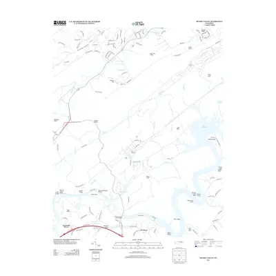
2013 Map of Bethel Valley
USGS Topo · Published 2013About this map
Melton Hill Lake and the winding course of the Clinch River dominate this topographic landscape in the early 21st century. The map captures a mix of residential growth in neighborhoods like Gamble Valley and the more dispersed settlements of Bradbury Valley and Woodlawn. Significant water features such as Whiteoak Lake and the intricate bends of the river, including Gallaher Bend and Hickory Creek Bend, define the local geography.
Find a feature on this map
120 named features on this map. Tap any name to fly to it.
Don’t see what you’re looking for? This feature index may not catch every label — zoom into the map to look around manually.
Map Details
Editions of this 2013 Bethel Valley Map
This is the sole edition of this map. No revisions or reprints were ever made.
Other maps of this area

1893 · Briceville
USGS Topo · 1:125,000

1895 · Loudon
USGS Topo · 1:125,000

1895 · Briceville
USGS Topo · 1:125,000

1896 · Briceville
USGS Topo · 1:125,000

1935 · Lenoir City
USGS Topo · 1:24,000

1935 · Elverton
USGS Topo · 1:24,000

1935 · Bethel Valley
USGS Topo · 1:24,000

1935 · Lovell
USGS Topo · 1:24,000

1936 · Cave Creek
USGS Topo · 1:24,000

1936 · Windrock
USGS Topo · 1:24,000