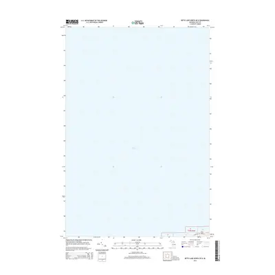
2014 Map of Betsy Lake North OE N
USGS Topo · Published 2014About this map
Lake Superior dominates this northern Michigan coastline along the shores of Luce County in McMillan Township. This 2014 survey focuses on the maritime transition where the vast waters of the Great Lakes meet the secluded Upper Peninsula terrain. The most prominent land feature is Crisp Point, a known coastal landmark accessed via the winding Crisp Point Rd. This area reflects the quiet, modern character of the Lake Superior shoreline, showing very few interior developments beyond the primary road and the township's established section lines such as t50n r8w. The map serves as a clear record of the shoreline and maritime access points in the early 21st century.
Find a feature on this map
4 named features on this map. Tap any name to fly to it.
Don’t see what you’re looking for? This feature index may not catch every label — zoom into the map to look around manually.
Map Details
Editions of this 2014 Betsy Lake North OE N Map
This is the sole edition of this map. No revisions or reprints were ever made.
Other maps of this area

1951 · Vermilion
USGS Topo · 1:24,000

1951 · Sheephead Lake
USGS Topo · 1:24,000

1951 · Shelldrake
USGS Topo · 1:62,500

1954 · Sault Sainte Marie
USGS Topo · 1:250,000

1956 · Sault Sainte Marie
USGS Topo · 1:250,000

1957 · Sault Sainte Marie
USGS Topo · 1:250,000

1958 · Sault Sainte Marie
USGS Topo · 1:250,000
1968 · Betsy Lake North
USGS Topo · 1:24,000

1968 · Betsy Lake NW
USGS Topo · 1:24,000
1985 · Two Hearted River
USGS Topo · 1:100,000