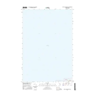
2017 Map of Betsy Lake North OE N
USGS Topo · Published 2017About this map
Lake Superior dominates the landscape of this coastal survey, which documents the shoreline along the northern edge of the Upper Peninsula. The map focuses primarily on the open waters of the Great Lakes, capturing the geographic transition where the terrestrial boundary of t50n r8w meets the lake. A significant landmark on this stretch of coast is Crisp Point, a notable landform and navigational reference point. This 2017 digital update by the U.S. Department of the Interior provides precise modern data on the shoreline position and the township and range intersections within Luce County, serving as a specific record of the lake's reach in the early 21st century.
Find a feature on this map
3 named features on this map. Tap any name to fly to it.
Don’t see what you’re looking for? This feature index may not catch every label — zoom into the map to look around manually.
Map Details
Editions of this 2017 Betsy Lake North OE N Map
This is the sole edition of this map. No revisions or reprints were ever made.
Other maps of this area

1951 · Vermilion
USGS Topo · 1:24,000

1951 · Sheephead Lake
USGS Topo · 1:24,000

1951 · Shelldrake
USGS Topo · 1:62,500

1954 · Sault Sainte Marie
USGS Topo · 1:250,000

1956 · Sault Sainte Marie
USGS Topo · 1:250,000

1957 · Sault Sainte Marie
USGS Topo · 1:250,000

1958 · Sault Sainte Marie
USGS Topo · 1:250,000
1968 · Betsy Lake North
USGS Topo · 1:24,000

1968 · Betsy Lake NW
USGS Topo · 1:24,000
1985 · Two Hearted River
USGS Topo · 1:100,000