2023 Map of Betterton
USGS Topo · Published 2023About this map
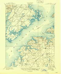
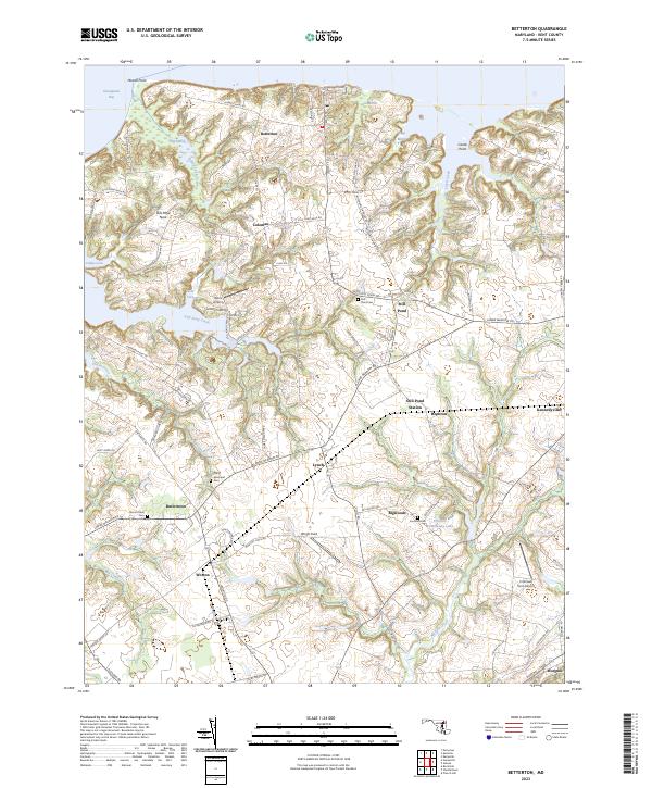
Chesapeake Bay waters define the northern reaches of this Kent County landscape, where coastal inlets like Indian Cabin Creek and Lloyd Creek carve into a series of necks and points. The settlement pattern reflects the agricultural and maritime roots of the Eastern Shore, with crossroads communities such as Still Pond, Lynch, and Coleman connected by historic routes like Still Pond Rd. Local genealogy is well-represented through several burial sites including Still Pond Cem, Christ Episcopal Cem, and Fountain Cem, which anchor the rural landscape.
Find a feature on this map
87 named features on this map. Tap any name to fly to it.
Don’t see what you’re looking for? This feature index may not catch every label — zoom into the map to look around manually.
Map Details
Editions of this 2023 Betterton Map
This is the sole edition of this map. No revisions or reprints were ever made.
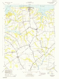
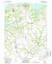
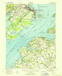
Historical Maps of Urieville Through Time
5 maps found