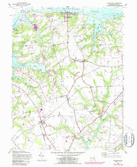
1948 Map of Betterton
USGS Topo · Published 1987About this map
The Sassafras River and the northern reaches of the Chesapeake Bay define this landscape of tidal marshes and agricultural necks. In the mid-20th century, the area around Betterton remained a mixture of established farming operations like Fair Promise Stock Farm and Five Rivers Farm alongside specialized sites such as a Wildlife Banding Station. The transition from river to land is marked by significant wetlands, including Big Marsh and Gut Marsh, while the interior is punctuated by small rural settlements and community focal points such as Mt Zion Church and Mt Olive Church. Transportation and commerce are centered on the Maryland and Delaware line and historical infrastructure like Harris Wharf and Still Pond Station.
Find a feature on this map
43 named features on this map. Tap any name to fly to it.
Don’t see what you’re looking for? This feature index may not catch every label — zoom into the map to look around manually.
Map Details
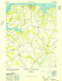
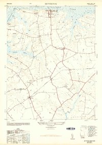
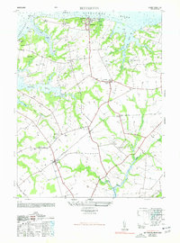
Editions of this 1948 Betterton Map
4 editions found
Other maps of this area

1898 · Tolchester
USGS Topo · 1:125,000

1899 · Dover
USGS Topo · 1:125,000

1900 · Cecilton
USGS Topo · 1:62,500

1900 · Betterton
USGS Topo · 1:62,500

1901 · Chestertown
USGS Topo · 1:62,500

1903 · Tolchester
USGS Topo · 1:125,000

1905 · Barclay
USGS Topo · 1:62,500

1906 · Dover
USGS Topo · 1:125,000

1908 · Tolchester
USGS Topo · 1:125,000

1920 · Dover
USGS Topo · 1:125,000