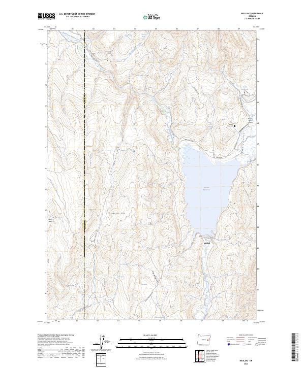
2024 Map of Beulah
USGS Topo · Published 2024About this map
Beulah Reservoir dominates this high-desert landscape on the border of Harney and Malheur counties, impounding the waters of the North Fork Malheur River. The small settlement of Beulah sits just south of the dam, serving as a focal point for the surrounding ranching and irrigation activities. To the north, Agency Valley contains the Agency Valley Cem and Murphy Ranch Airport, indicating a history of long-term settlement and local aviation supporting remote land management.
Find a feature on this map
36 named features on this map. Tap any name to fly to it.
Don’t see what you’re looking for? This feature index may not catch every label — zoom into the map to look around manually.
Map Details
Editions of this 2024 Beulah Map
This is the sole edition of this map. No revisions or reprints were ever made.
Other maps of this area

1908 · Ironside Mountain
USGS Topo · 1:125,000

1955 · Burns
USGS Topo · 1:250,000

1955 · Canyon City
USGS Topo · 1:250,000

1958 · Burns
USGS Topo · 1:250,000

1959 · Burns
USGS Topo · 1:250,000

1959 · Canyon City
USGS Topo · 1:250,000

1966 · Beulah
USGS Topo · 1:62,500

1968 · Drewsey
USGS Topo · 1:62,500

1970 · Flag Prairie
USGS Topo · 1:62,500

1970 · Castle Rock
USGS Topo · 1:62,500