2024 Map of Beulah
USGS Topo · Published 2024About this map
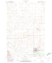
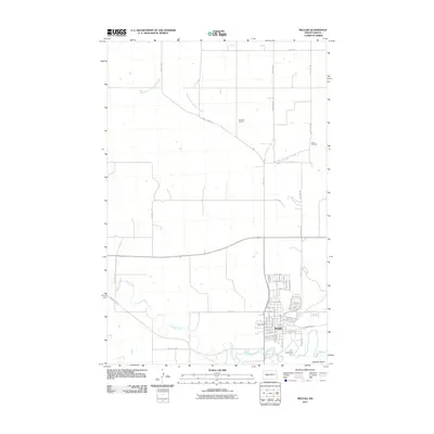
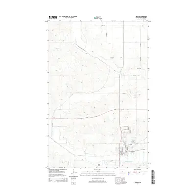
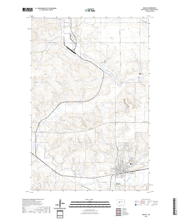
Beulah serves as the focal point of this Mercer County landscape, situated where Spring Creek meets the Knife River. The town's grid is detailed with specific residential and industrial corridors, including Chaffee Row and Railroad St SW, reflecting the importance of transportation to this regional center. Outside the municipal limits, the terrain is defined by the winding paths of West Branch Antelope Creek and its various tributaries. For those researching local families, the map identifies several distinct burial sites including the Beulah City Cem, Zion Lutheran Church Cem, and the more isolated Boeckel Cem and Zaron Cem. The survey illustrates a blend of structured town planning and the natural drainage patterns that have historically shaped agriculture and settlement in this portion of North Dakota.
Find a feature on this map
38 named features on this map. Tap any name to fly to it.
Don’t see what you’re looking for? This feature index may not catch every label — zoom into the map to look around manually.
Map Details
Editions of this 2024 Beulah Map
This is the sole edition of this map. No revisions or reprints were ever made.
Historical Maps of Beulah Through Time
6 maps found