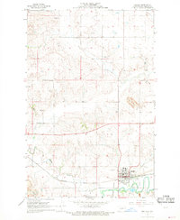
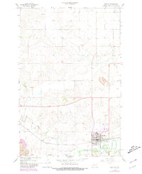
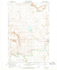
1968 Map of Beulah
USGS Topo · Published 1969About this map
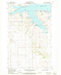
The Northern Pacific railroad corridor anchors the city of Beulah, sitting at the junction of Spring Creek and the Knife River. This late 1960s survey by the U.S. Geological Survey and the North Dakota Water Commission reveals an industrial and agricultural hub, where the presence of a large Strip Mine and numerous Gravel Pits points to the area's extraction-based economy. Beyond the town center, which includes Beulah Park and the local Rodeo Grounds, the rural landscape is marked by family-named landmarks such as Boeckel Cem and Sarah Cem. The infrastructure of the era is clearly visible, from the Beulah Municipal Airport to the detailed network of fence and field lines that segment the high plains terrain above the river valley.
Find a feature on this map
17 named features on this map. Tap any name to fly to it.
Don’t see what you’re looking for? This feature index may not catch every label — zoom into the map to look around manually.
Map Details
Editions of this 1968 Beulah Map
2 editions found
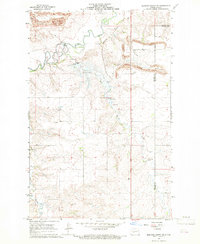
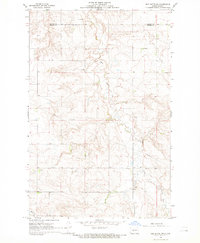
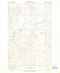
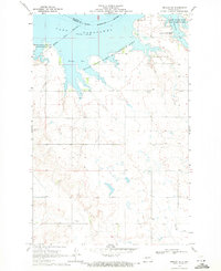
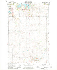
Other maps of this area

1954 · McClusky
USGS Topo · 1:250,000

1958 · McClusky
USGS Topo · 1:250,000
1968 · Medicine Butte NE
USGS Topo · 1:24,000
1968 · Red Butte NW
USGS Topo · 1:24,000
1968 · Hazen West
USGS Topo · 1:24,000
1968 · Medicine Butte
USGS Topo · 1:24,000
1969 · Beulah NE
USGS Topo · 1:24,000
1969 · Hazen NW
USGS Topo · 1:24,000
1969 · Beulah NW
USGS Topo · 1:24,000
1969 · Zap
USGS Topo · 1:24,000