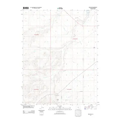
2013 Map of Beulah NE
USGS Topo · Published 2013About this map
Minnequa Canal snakes through the high plains of Pueblo County, following the contours of a landscape defined by its vital water infrastructure and drainage systems. This 2013 survey documents the arid transition between the mountains and the plains, where the Pueblo Reservoir and Pueblo State Park mark the northeastern corner of the map. The geography is etched by seasonal watercourses like Soda Cr, Peck Cr, and Rock Cr, which carve through the terrain toward Boggs Flat. Local transport and aviation are anchored by the Rock Creek Airport situated near Rock Creek Hill, while a network of rural routes such as Galbreth Rd and Bergemann Rd provide access to this open ranching and recreational country.
Find a feature on this map
21 named features on this map. Tap any name to fly to it.
Don’t see what you’re looking for? This feature index may not catch every label — zoom into the map to look around manually.
Map Details
Editions of this 2013 Beulah NE Map
This is the sole edition of this map. No revisions or reprints were ever made.
Other maps of this area

1891 · Pueblo
USGS Topo · 1:125,000

1894 · Pueblo
USGS Topo · 1:125,000

1896 · Pueblo
USGS Topo · 1:125,000

1897 · Pueblo
USGS Topo · 1:125,000

1954 · Pueblo
USGS Topo · 1:250,000

1957 · Pueblo
USGS Topo · 1:250,000

1958 · Pueblo
USGS Topo · 1:250,000

1961 · Northwest Pueblo
USGS Topo · 1:24,000

1961 · Southwest Pueblo
USGS Topo · 1:24,000

1962 · Pueblo
USGS Topo · 1:250,000