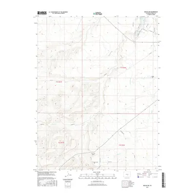
2016 Map of Beulah NE
USGS Topo · Published 2016About this map
Rock Creek Airport sits at the heart of this landscape southwest of the Pueblo Reservoir, illustrating the modern transition of this Pueblo County terrain. The western edge of the reservoir basin is defined by recreational and topographic features like Pedro's Point and the Boggs Flat plateau. Water management and drainage are central themes here, traced through the winding Minnequa Canal and the dendritic patterns of Peck Cr, Soda Cr, and Galbeth Cr.
Find a feature on this map
27 named features on this map. Tap any name to fly to it.
Don’t see what you’re looking for? This feature index may not catch every label — zoom into the map to look around manually.
Map Details
Editions of this 2016 Beulah NE Map
This is the sole edition of this map. No revisions or reprints were ever made.
Other maps of this area

1891 · Pueblo
USGS Topo · 1:125,000

1894 · Pueblo
USGS Topo · 1:125,000

1896 · Pueblo
USGS Topo · 1:125,000

1897 · Pueblo
USGS Topo · 1:125,000

1954 · Pueblo
USGS Topo · 1:250,000

1957 · Pueblo
USGS Topo · 1:250,000

1958 · Pueblo
USGS Topo · 1:250,000

1961 · Northwest Pueblo
USGS Topo · 1:24,000

1961 · Southwest Pueblo
USGS Topo · 1:24,000

1962 · Pueblo
USGS Topo · 1:250,000