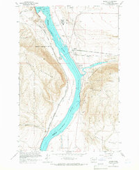
1965 Map of Beverly
USGS Topo · Published 1966About this map
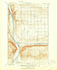
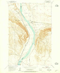
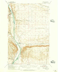
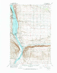
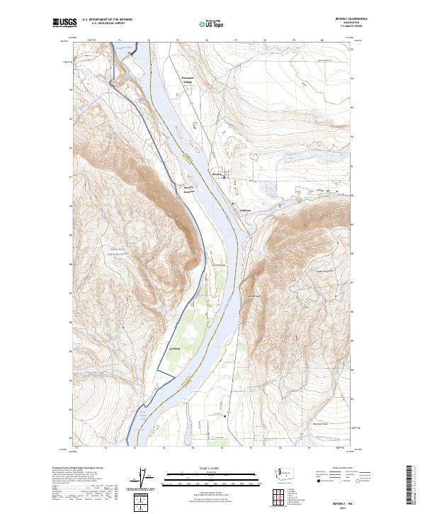
The Columbia River carves a dramatic path through the Saddle Mountains at Sentinel Gap, defining the landscape of Grant and Kittitas counties in the mid-1960s. This survey captures the region just as the Wanapum Dam had fundamentally altered the river's character, creating a reservoir with a powerhouse and fish ladder. The presence of Wanapum Village and the small settlement of Beverly reflect the local infrastructure required to support these massive hydroelectric and irrigation projects.
Find a feature on this map
38 named features on this map. Tap any name to fly to it.
Don’t see what you’re looking for? This feature index may not catch every label — zoom into the map to look around manually.
Map Details
Editions of this 1965 Beverly Map
This is the sole edition of this map. No revisions or reprints were ever made.
Historical Maps of Schwana Through Time
6 maps found